Queens approves road trails bylaw, paving way for OHVs on some streets in Liverpool
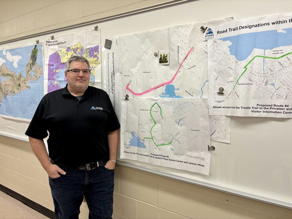
Dave White is the president of the Queens County ATV Association. (Rick Conrad)

ATV operators in Queens County will soon be able to ride their vehicles on some municipal roads in Liverpool.

Region of Queens councillors adopted a new road trails bylaw on Tuesday, paving the way for off-highway vehicles to use some roads to access trails and services.

The rules take effect Feb. 1. But Dave White, president of the Queens County ATV Association, says there’s still some work to do to get the trails ready for riders.

“It’s really important for people to note that, although it’s passed second reading today, it will not become officially open. … Things that have to be done is we have trail signage to go up as well as the region has some signage for where the trail crosses streets. So they’ve already done some preliminary work.”

White said the association, the ATV Association of Nova Scotia and the municipality will update users on when the trails are ready to use.

The bylaw designates five routes around Liverpool that riders can use to access services or other trails.

It’s been about two and a half years since the association and the Queens Rails to Trails Association approached the region to create a connected trail network similar to those that exist in neighbouring Lunenburg and Shelburne counties and in other parts of Atlantic Canada.

ATV groups say that the changes will bring more economic activity to Queens County. In 2022, ATV users said they spent $454 million in Nova Scotia.

The Nova Scotia government passed the Road Trails Act in 2023, which allows off-highway vehicles on provincial and municipal roads with certain conditions.

“It’s been a major development and a lot of work with the municipality, over the last six months, but really over almost two and a half years at this point,” White said .

“So we are exceptionally pleased with it.”

White says motorists won’t see much of a change once the rules go into effect, since the vehicles won’t be allowed everywhere.

“You will see off-highway vehicles on defined streets. That’s important, it is not all of town. It’s very specific.”

The routes are behind the municipal offices on White Point Road and at various points from the Trestle Trail that would allow access to the Visitor Information Centre, downtown shops and services like the gas stations and grocery stores around Queens Place Drive. 

The association also signed an agreement with a local landowner so riders can access the former rail bed to get to the Milton Road. 

“And then you’ll travel like any other vehicle down to the light, and have all of the options open to you, including the yield lane to the right to access Irving, Shell and Hank Snow Drive, which will allow us to have combined tourism events with the friends of the Hank Snow Society, which we’re very excited for, and we’re hoping to do an event with them in February.

“You will also be able to turn left at the light to access businesses like Sobeys, Superstore, McDonald’s, Dollarama, Queens Place, Best Western, which is a major win because people will be able to come in and do expanded tourism opportunities. So we’re very excited.”

White says once the trails are open, they should bring in business from off-highway vehicle users from around the province.

He says people can get more details about the routes by downloading the ATV Association of Nova Scotia’s mobile app. 

Here are the routes outlined in the bylaw:

  • West Street from civic number 181 to the intersection with Harley Umphrey Drive, then to the intersection with White Point Road.
  • King Street from civic number 56 to the intersection with Lawrence Street, then to the intersection with Wolfe Street to civic number 16.
  • Main Street from the intersection with Central Boulevard to civic number 741.
  • Brunswick Street from civic number 63 to the intersection with Main Street, then to the intersection with Henry Hensey Drive to the pump station at civic number 4 Henry Hensey Drive.
  • Milton Road from civic number 31 to the intersection with Bristol Avenue, west to the intersection with Hank Snow Drive and east to the intersection with Queens Place Drive. Included is Hank Snow Drive to civic number 38 and the entirety of Queens Place Drive and Old Cobbs Barn Road.

Email: rickconradqccr@gmail.com

Listen to the audio version of this story below
Region of Queens to allow ATVs on some Liverpool streets

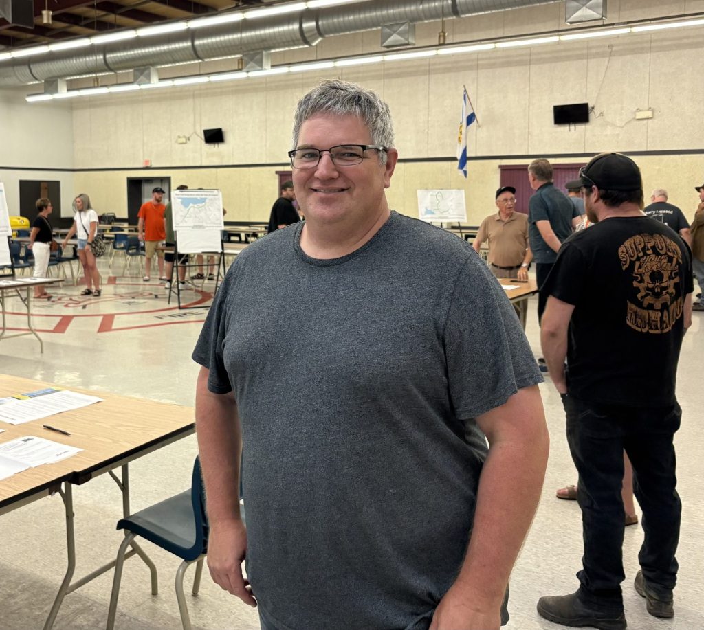
Dave White, president of the Queens County ATV Association, at a July public information session on road trails. (Rick Conrad / File)

ATV users will soon be able to travel more easily through Queens County.

Regional councillors voted unanimously on Tuesday evening to create a bylaw that would allow the vehicles on some municipal roads.

The bylaw will designate five routes around Liverpool that riders can use to access services or other trails.

Dave White, president of the Queens County ATV Association, and about 30 supporters were at the council meeting for the vote.

“We’re really excited with the decision of council tonight to move forward to the bylaw phase with all five road trails in the Region of Queens Municipality, specifically in the former township, to create trail-to-trail and trail-to-amenities connections,” White said in an interview afterward.

“And I think this is going to be a really positive thing for our community so we’re very excited.”

It’s been about two years since the association and the Queens Rails to Trails Association approached the region to create a connected trail network similar to those that exist in neighbouring Lunenburg and Shelburne counties and in other parts of Atlantic Canada.

ATV groups say that the changes will bring more economic activity to Queens County. In 2022, ATV users said they spent  $454 million in Nova Scotia.

The Nova Scotia government passed the Road Trails Act in 2023, which allows off-highway vehicles on provincial and municipal roads with certain conditions.

The region formed an ad hoc committee with local ATV organizations. The groups consulted with property owners, held public engagement sessions and asked for feedback in an online survey.

The response was overwhelmingly positive. About 180 people attended an information session at the Liverpool Fire Hall in July. Nobody voted against any of the five proposed routes. (Note: The routes are explained in detail at the end of this story.)

The online survey garnered between 74 and 84 per cent support for each route.

Those routes are behind the municipal offices on White Point Road and at various points from the Trestle Trail that would allow access to the Visitor Information Centre, downtown shops and Queens Place Drive. 

In a staff report to council, project officer Richard Lane said comments from residents were mostly positive, but some were confused about the rules, while others worried about how those rules would be enforced.

The region’s traffic authority, Director of Infrastructure Adam Grant, said increased traffic from ATVs may contribute to driver confusion in some areas, like the intersection of Bristol Avenue and Milton Road.

He said he wanted to ensure that public safety remains the priority as the region moves ahead with a bylaw.

The region also consulted five other municipalities with road trail networks – the towns of Oxford, Pictou, Shelburne and Yarmouth and the city of Corner Brook, NL.

The municipality asked Queens District RCMP for their feedback but didn’t get a response. 

Mayor Scott Christian said Queens will likely use municipal bylaws in other jurisdictions as their guide.

“We’re going to take all those lessons and try to … do it right the first time and just make it really clear and easy for the users about how they can navigate the road trails through the town of Liverpool, where they can go, where they can’t go, how they can safely operate their vehicles in town. I’m really excited about it.”

As with any new bylaw, the region must notify the public and give them an opportunity to comment at a public hearing. Christian said it shouldn’t take long to draft it.

White says road trail bylaws in other places are usually brief, since a lot of the regulations are already in provincial legislation.

He says that after lobbying two separate councils for the past two years, he’s happy that ATV users will soon get a greenlight to ride on certain roads.

“There are lots of things going on in a muncipality at any given time and while this took a little longer than we had hoped, we’re very happy with the outcome.”


FIVE PROPOSED ROAD TRAIL ROUTES IN LIVERPOOL (Source: Region of Queens staff report from Richard Lane, presented at Oct. 28 council meeting)

Route #1

From the rail trail as it enters Liverpool from the Shelburne direction and emerges from the walking trail behind the municipal office at 249 White Point Road, the road trail would allow a right turn onto West Street and left onto Harley Umphrey Drive. The road trail would then cross Hwy 3 and join the Trestle Trail, the road trail would also continue along George Street and end at the intersection with Old Port Mouton Road.

Route #2

Diverging from the Trestle Trail, the road trail would turn right onto King Street, left onto Lawrence Street, and right onto Wolfe Street until rejoining the Trestle Trail at Central Boulevard. The purpose of this road trail would be to avoid travel through a residential backyard and a section with poor sight lines and steep gradient.

Route #3

From the Trestle Trail as it crosses Main Street, the road trail would allow a left turn as far as the end of municipal street jurisdiction at Mersey Place Court. This would allow access to the Cowie Well and prepare for connection to the Trestle Trail from outside town limits via Milton, should an application be submitted to the Province of Nova Scotia for access in the future.

Route #4

From the Trestle Trail, the road trail would allow a right turn onto Brunswick Street, slight left on Main Street and right onto Henry Hensey Drive as far as the Visitor Information Centre. No access to Market Street, Bristol Avenue, or Main Street would be available. This road trail would enable access to parking, shops, and services including the Visitor Information Centre.

Route #5

Following the Trestle Trail until a left turn onto an access road at 31 Milton Road, the proposed road trail joins Milton Road with a right turn to the traffic light. From the traffic lights, the route allows a right turn onto Bristol Avenue, and a left turn onto Hank Snow Drive – no further travel on Bristol Avenue would be permitted. The route also enables riders to go straight through the traffic light, or to turn left and then left again onto Queens Place Drive. The inclusion of Old Cobbs Barn Road enables future road trail designation of a section of Hwy 3 toward Brooklyn, should an application be submitted to the Province of Nova Scotia in the future. This route would enable access to multiple shops, gas stations, accommodation, and amenities such as the Hank Snow Hometown Museum and Queens Place Emera Centre.

Email: rickconradqccr@gmail.com

Listen to the audio version of this story below